
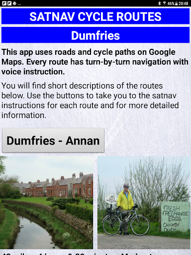
Features Satnav Cycle Routes - Dumfries
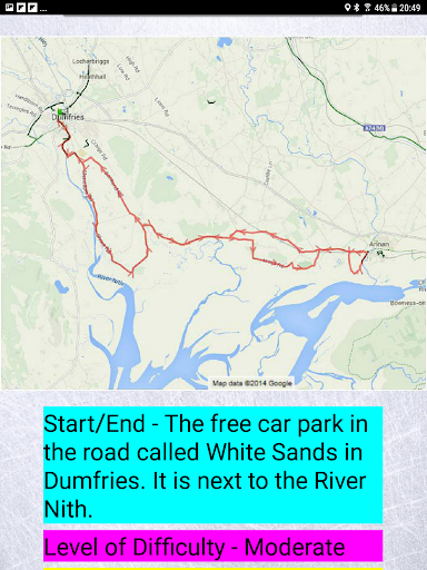
Dumfries - Annan.
43 milesDumfries - Lochmabon.
40 milesDumfries - New Abbey.
27 miles3 Satnav Cycle Routes around Dumfries using cycle paths and roads on Google Maps.
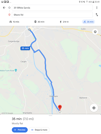
Every route has turn-by-turn navigation with voice instruction.
Enjoy the benefits of cycling a whole route by following Sat Nav instructions without having to buy an expensive Sat Nav.
Just download the app to your device.
Using Satnav Cycle Routes means that you no longer have to use paper maps when you try new cycle routes.
Even if you take a wrong turn Google Maps will quickly work out a new route on your device to get you back on track.
The routes are all graded to give you an idea of how easy or difficult they are.
You are also advised which type of bike the routes are suitable for, the type of terrain and the length.
The routes are not all traffic-free but use paths as much as possible together with quiet roads.
All of the routes are circular and start and end in the free car park in the road called White Sands in Dumfries.
It is next to the River Nith.
Shopping Features
Shop online and find the best deals.
Smart Home
Control and monitor your home with smart features.
Automotive
Manage and monitor your vehicle with smart features.
See the Satnav Cycle Routes - Dumfries in Action
Get the App Today
Available for Android 8.0 and above